How to get to Manchester Airport by car including maps & directions as well as driving distances from various, close by locations.
Manchester Airport Address: Manchester M90 1QX
Manchester Airport is roughly a 25-minute drive from central Manchester. From the M56 motorway, the Airport has a dedicated link road from Junction 5.
| Blackpool | 57 |
| Carlise | 125 |
| Chester | 33 |
| Leicester | 97 |
| Macclesfield | 12 |
| Manchester City | 10 |
| Merseyside | 34 |
| Stockport | 8 |
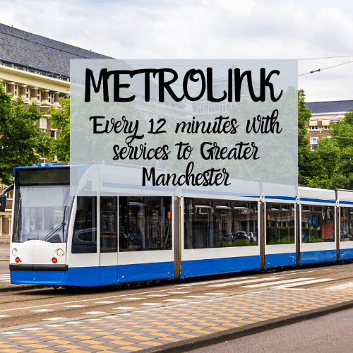
You'll find The Station located at Manchester Airport which includes rail, coach and tram services which can be used to travel into Greater Manchester and further afield. Below we have detailed the various services available, their frequency and approximate journey time:


Terminal 1 Departures drop off is easily located; follow the signs to the Terminal and on your left, you will see a sign for the "Hilton Hotel" and the "Clayton Hotel" - take the left-hand ramp that follows these signs and enter the car park under the "Drop Off" entrance.
Terminal 2 Drop Off is located just off the exit for the terminal. You will see the "Raddison Hotel" directly in front of you - the drop off entrance is off of the 3rd exit on the ramp and straight ahead.
Terminal 3 Drop off is a little further on from Terminal 1's. After the "Clayton Hotel" sign, take the first exit on the roundabout. At the next 2 mini roundabouts, take the 3rd and 2nd exits respectively - the drop off is located straight ahead.
It should be noted that limited waiting time is strictly enforced. If you have to park for more than a few minutes you should use the Short Stay car parks.
Short and Long Stay airport parking is available at all terminals. With covered walkways from the short stay car parks and regular shuttles running between the long-stay parking areas, the transition from car to airport should be seamless. Please note, that if you plan to use any option other than Short Stay, it is best to book in advance. Check out the latest parking deals at Airport Parking Shop to ensure you get the best price!